

Illustrated Maps
Discuss a custom illustrated map for a publication, destination, event or personal story.
The building on the corner. The path to the water. The places that belong together in your memory. An illustrated map can give those details a shared composition, with a visual direction developed around the purpose of the piece.
Discuss a map illustrationExplore the place studies
A neighbourhood.
An occasion. A personal route.
Destination & editorial maps
A selected group of landmarks, places or experiences for a publication or visitor-facing piece. The map can emphasise a particular story rather than trying to include everything in an area.
Venue & event artwork
An illustrated overview for an invitation, welcome pack or programme. Supply the locations and information guests need; the artwork can give them a visual context.
A map of meaningful places
A personal piece connecting homes, journeys or moments. Explain the relationship between the places and whether the result should be geographic, symbolic or a little of both.
What belongs in
the picture—and what does not?
A map for a magazine feature may focus on a handful of stops. A venue illustration may need a larger view of the grounds. A keepsake may care more about the relationship between places than the exact distance separating them.
That choice comes before the detailed drawing. Agree the purpose, the extent of the area, the landmarks and how much information the final piece needs to carry. Adding more places later can change the whole composition, not just one corner.
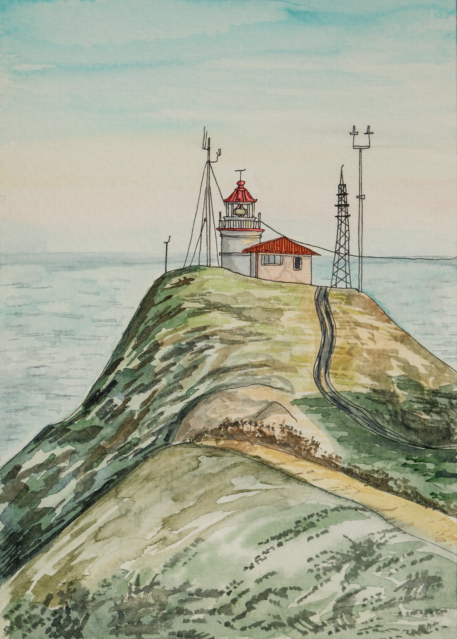
The watercolor buildings and landscapes shown here demonstrate ways of interpreting places in Adelya’s work. They are visual references, not presented as a completed map portfolio. A sample direction can be scoped before developing a larger commission.
Bring the locations
and the information behind them.
Supply an approved reference map, a list of locations, correct labels and photographs of important landmarks. Explain the source and permissions for any reference material you provide.
Identify the places that matter most and the minimum information that must remain readable. Include the final print or screen size: a large poster and a small invitation cannot carry the same amount of detail.
Name the person responsible for checking geography, spellings, access information and other factual content. Illustration can make that information engaging, but it does not replace verification by someone who knows the place.
An illustrated overview,
not a navigation system.
This offer concerns static artwork. Surveying, measured plans, live routing, emergency wayfinding and interactive map development are different services and are not implied by an illustrated-map commission.
Agree whether the map is illustrative or intended to communicate particular geographic relationships. A decorative keepsake should not be mistaken for a precise route guide. Your brief and the final presentation should make that distinction clear.
For a website, brochure, print or event suite, list the uses and adaptations you need. New locations, language versions and future updates can be planned as separate deliverables.
Put this direction into a useful brief.
Bring a relevant portfolio example and describe what you like about it: the handling of colour, the expression, the texture or the composition. Then describe your own subject and where the artwork will appear. The reference starts the discussion; the new work is developed for your particular purpose.
Build a short project brief · Ask about using an existing artworkFrom a list of places
to one considered image.
1. Scope & references
Review the purpose, area, landmarks, labels and formats. Agree the illustration scope, rights, quote and review schedule.
2. Layout & hierarchy
Establish the composition and relative emphasis of the places. Check the supplied facts before detailed artwork develops.
3. Artwork & handoff
Complete the approved direction and prepare the agreed exports. Additional labels, places or formats follow an updated scope.
Illustrated map questions.
Can a map combine places that are far apart?
Yes, a symbolic composition can be discussed. It should be presented as a personal or narrative map rather than a precise geographic guide.
Can you include our venue or local landmarks?
Supply approved photographs, labels and location references. The number and complexity of illustrated landmarks affect the scope.
Will the map be interactive?
The proposed service is static illustration. Clickable interfaces, routing and application development are not included automatically.
What affects the price?
Area, landmark count, detail, labelling, formats, review stages and licence. Share the complete list early so the quote covers the actual composition.
Can we update it later?
Discuss expected updates and editable-file needs before commissioning. A new venue or language can require more work than changing a single label.
Can we reproduce it commercially?
Describe all publications, products and channels in the brief. The written licence states the permitted use; see the current terms.
Where should the story begin?
Send the area, the places that matter and how the illustration will be used.
Start an illustrated-map conversationEmail Adelya